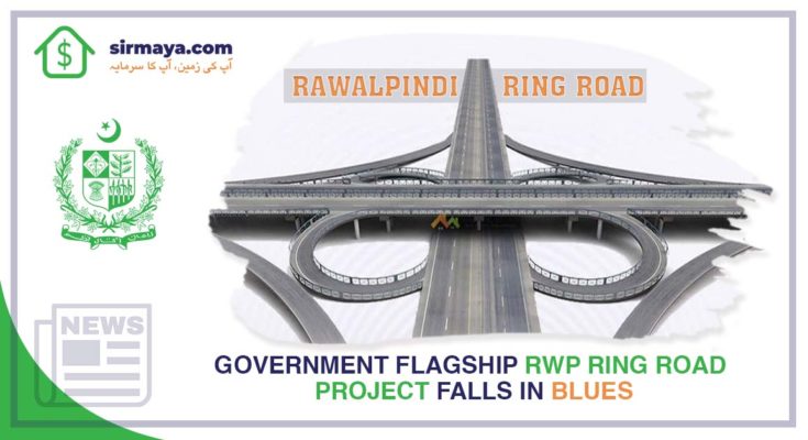
Islamabad: According to a news source, a much-needed project for Rawalpindi, Rawalpindi Ring Road (R3) aborted. The project is said to be the flagship project of the Pakistan Tehreek-e-Insaf (PTI) Government. Further, the mega project was desperately needed by the city but fell into the doldrums.
Moreover, the plan included site selection of the proposed land uses on the R3. Its main objectives were to ease the traffic congestion in Rawalpindi. According to the plan, decentralization of the city’s land uses along the R3 could help decongest it and contribute significantly to enhance the local economy of Rawalpindi.
Talking about the land use types, the plan suggested the enhancement of economic opportunity for the citizens of Rawalpindi and Islamabad. And the provision of direct access to farmers. As a result, the market would provide opportunities to sell fresh products. Likewise, it also offers facilities for the processing and storage of commodities.
Further, there was a plan for a truck terminal that would help ease traffic congestion by reducing overlapping and mixed transportation in the cities. Moreover, it would host a refreshment centre, workshop and parking facilities. There would be a commercial hub that would ease traffic congestion in the city centre. Furthermore, it raises investment in infrastructure, job opportunities and tax revenues.
All this, the plan proposed, would share the burden of health facilities available in the city. Site allocation for residential schemes and satellite towns and affordable housing would help control the urban sprawl. And it will provide better opportunities for affordable housing. Further, site allocation for dumping and other solid waste management purposes would also be done.
About Rawalpindi city’s dynamics, the plan said it is the fourth-ranked city in Pakistan and has an outdated master plan. The plan prepared for a period of 20 years (1996-2016). Moreover, the city has an uneven distribution of social/public infrastructures such as health and education. The plan said the direction of spatial growth is from the cantonment limits in the east to west periphery towards the M2 motorway. The urban expansion is between Rakh Dhamial forest and Thalian interchange at M2, that is the Chakri Road and between Rakh Dhamial forest and Soan River i.e. Adyala Road.
The analysis of Rawalpindi city over the period shows that its urban area has grown three-fold since 1995– from 6,449 acres in 1995 to 21,217 acres in 2015 along with the expansion of the overall city by 27% in total from 76,490 acres in 1995 to 104,793 in 2015. which may lie within 1-2% of the total city area.
According to an official document, the Project Review Committee (PRC) of the Private Partnership Policy (PPP) and Monitoring Board headed by Dr Salman Shah, advisor to the Chief Minister on Economic Affairs, also in its seventh and eighth meetings on Aug 20 and 22, 2020 held. The R3 project needs to cater for the development needs of Rawalpindi city for the next 20 years besides creating economic activity.
Therefore, it is also to be noted that the previous alignment could be termed a partial bypass as it started from one point on a road and connected to another road. While a true bypass connects two points at the same road diverting traffic from the busier section. Hence, it neither fully addressed the decongestion problem nor development needs as envisaged in the seventh and eighth meetings of the PRC.
For more news visit: https://www.sirmaya.com/blog/news/
News source: https://www.thenews.com.pk/print/836358-govt-flagship-project-in-the-doldrums


